















Rare Old Map of Heber City, Utah by USGS, 1955: Midway, Heber Valley & Deer Creek Reservoir
Restored in our London workshop from the original 1964 map and printed to museum-grade archival standards. Full description
The Collector’s Offer
Choose two eligible works and receive 20% off both. Choose three and the lowest-priced one is complimentary, a maximum saving of 33%.
Mix and match eligible standard maps and fine-art prints. No code is required; the offer is applied automatically at checkout.
Standard made-to-order configurations are included. Bespoke sizes, personalised designs and commissioned work are excluded.
Need delivery to different addresses? Contact us before ordering.The Collector’s Offer
Choose two eligible works and receive 20% off both. Choose three and the lowest-priced one is complimentary, a maximum saving of 33%.
Mix and match eligible standard maps and fine-art prints. No code is required; the offer is applied automatically at checkout.
Standard made-to-order configurations are included. Bespoke sizes, personalised designs and commissioned work are excluded.
Need delivery to different addresses? Contact us before ordering. Restored in London • Printed and framed in the EU

Restored from the original 1964 map and printed to museum-grade archival standards. Full description
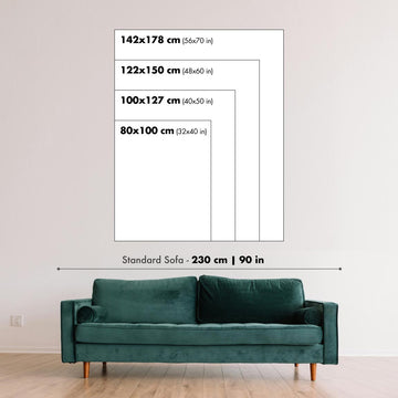
Choose your size
Choose your finish


(More info)
Gift message & custom finish

If you want to add a gift message, or a finish (jigsaw, aluminium board, etc.) that is not available here, please request it in the "order note" when you check out.
Every order is custom made, so if you need the size adjusted slightly, or printed on an unusual material, just let us know. We've done thousands of custom orders over the years, so there's (almost) nothing we can't manage.
You can also contact us before you order, if you prefer!
Own a piece of history
8,000+ five-star reviews


Published in 1964 using survey data from 1955, the “Heber Quadrangle” captures a richly detailed portrait of Utah’s Heber Valley at mid-century....
Continue readingPublished in 1964 using survey data from 1955, the “Heber Quadrangle” captures a richly detailed portrait of Utah’s Heber Valley at mid-century. At 1:24,000 scale, it presents Heber City and Midway with the precision and intimacy characteristic of USGS quadrangle mapping, balancing human settlement with the powerful forms of the surrounding Wasatch terrain. The map records a landscape still largely rural in character, where town grids, farm roads, rail lines, rivers, and foothills occupy a shared visual language. For modern viewers familiar with the region’s growth, resort development, and expanding infrastructure, this sheet offers a compelling earlier view of Wasatch County before many contemporary transformations reshaped the valley.
The United States Geological Survey, founded in 1879, became the nation’s preeminent authority on topographic mapping, and this map reflects the agency’s disciplined cartographic style. Its contour lines are not merely technical markings but a visual grammar of elevation, slope, ridge, and basin, making the mountainous setting legible at a glance. Green areas indicate vegetation, while lighter ground distinguishes open or less wooded terrain, allowing the valley floor and uplands to be read in relation to one another. Roads are carefully differentiated, with paved and dirt routes traced through agricultural land and rising foothills, while dashed railroad markings evoke the transport networks that once connected the valley to broader regional economies.
Heber City appears as the principal settlement, its streets and land designations suggesting a modest but organized county seat surrounded by open countryside. Known today for its historic downtown and mountain-town character, Heber is shown here before the scale of later suburban and recreational expansion. Nearby Midway, with its distinctive Swiss-inspired cultural identity, sits against a dramatic natural backdrop that has long attracted visitors and residents alike. The map’s arrangement of roads, waterways, and settlement patterns reveals how these communities developed in close relationship to the valley’s agricultural base, its access routes, and the enclosing mountains that both sheltered and defined local life.
The natural features are especially evocative, with the Provo River and Deer Creek Reservoir anchoring the hydrology of the quadrangle. Water, elevation, and access come together across the sheet, illustrating why this part of Utah became important for farming, recreation, transportation, and later growth. The terrain rises toward notable high country associated with the Wasatch Range, with landmarks such as Mount Timpanogos and Squaw Peak forming part of the broader geographic drama of the region. Contours crowd tightly along steeper slopes and relax across the valley floor, creating an immediate sense of movement from cultivated lowland to rugged mountain landscape.
Seen today, the map is also a historical document of change. The Heber Valley has since become closely associated with outdoor recreation, scenic drives, state parks, reservoirs, and mountain communities, including areas connected with Wasatch Mountain State Park, Timber Lakes, Strawberry Reservoir, and the later Jordanelle Reservoir landscape. This mid-century mapping preserves an earlier pattern of settlement and land use, before accelerated urbanization and recreational development altered the region’s visual and cultural profile. Its beauty lies in that tension: a precise scientific record that also reads as a quiet portrait of place, capturing Utah’s high valleys at a moment between agrarian past and modern mountain destination.
Cities, towns and places on this map
- Heber City
- Midway
- Wasatch Mountain State Park
- Deer Creek Reservoir
- Provo River
- Squaw Peak
- Timber Lakes
- Jordanelle Reservoir
- Strawberry Reservoir
- Mount Timpanogos
- Heber Valley
- Dirt and paved roads
- Railroad lines indicated by dashed lines
Historical context & cartographic details
- Historical 1:24,000 topographical map showing Heber City, Midway, and the surrounding area in Utah.
- Dated 1955 and carrying a 1964 imprint.
- Created using survey data from 1955 and published in 1964.
- Produced by the United States Geological Survey, or USGS.
- The USGS has played a major role in American geospatial data collection and topographical mapping since its founding in 1879.
- The map features intricate contour lines showing elevation changes and topographic variation.
- Color is used to distinguish land cover types, including green for vegetation and white for barren or open areas.
- Depicts mountainous terrain interspersed with valleys, lakes, and rivers.
- Shows the Heber area before later urbanization and infrastructure growth, preserving a more rural mid-20th-century view of the region.
Looking for a particular place? Review the detailed images to confirm that the town, landmark or feature you have in mind appears on the map. If you are unsure, ask our workshop to check before you order.
Detailed maps are especially rewarding at larger sizes, where names, boundaries and decorative features have more room to be appreciated. Use the close-up preview and size guide to choose the right scale for your wall.
This map looks amazing at sizes all the way up to 50in (125cm). If you are looking for a larger map, please get in touch.
The model in the listing images is holding the 16x20in (40x50cm) version of this map.
Where personalisation is available, you can add a short title or dedication, mark one meaningful place, or request one considered visual detail. See personalised map examples.
Every piece is printed to museum-grade archival standards using fade-resistant pigment inks on acid-free matte paper. Choose an unframed map print, framed map or canvas using the finish options above. Framed maps use crystal-clear optical acrylic and arrive ready to hang.
With its rich detail and strong sense of place, this map makes a considered gift for a new home, anniversary, retirement or anyone with a personal connection to the area shown. Still deciding? Explore our collection of rare old and vintage maps to discover another place, period or style.
This map is also available as a float framed canvas, sometimes known as a shadow gap framed canvas or canvas floater. The map is printed on artist's cotton canvas and then stretched over a handmade box frame. We then "float" the canvas inside a wooden frame, which is available in a range of colours (black, dark brown, oak, antique gold and white). This is a wonderful way to present a map without glazing in front. See some examples of float framed canvas maps and explore the differences between my different finishes.
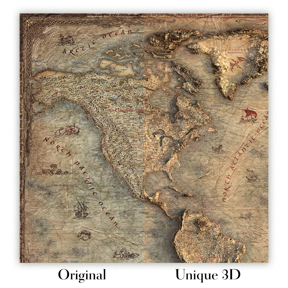
For something truly unique, this map is also available in "Unique 3D", our trademarked process that dramatically transforms the map so that it has a wonderful sense of depth. We combine the original map with detailed topography and elevation data, so that mountains and the terrain really "pop". For more info and examples of 3D maps, check my Unique 3D page.
Published in 1964 using survey data from 1955, the “Heber Quadrangle” captures a richly detailed portrait of Utah’s Heber Valley at mid-century. At 1:24,000 scale, it presents Heber City and Midway with the precision and intimacy characteristic of USGS quadrangle mapping, balancing human settlement with the powerful forms of the surrounding Wasatch terrain. The map records a landscape still largely rural in character, where town grids, farm roads, rail lines, rivers, and foothills occupy a shared visual language. For modern viewers familiar with the region’s growth, resort development, and expanding infrastructure, this sheet offers a compelling earlier view of Wasatch County before many contemporary transformations reshaped the valley.
The United States Geological Survey, founded in 1879, became the nation’s preeminent authority on topographic mapping, and this map reflects the agency’s disciplined cartographic style. Its contour lines are not merely technical markings but a visual grammar of elevation, slope, ridge, and basin, making the mountainous setting legible at a glance. Green areas indicate vegetation, while lighter ground distinguishes open or less wooded terrain, allowing the valley floor and uplands to be read in relation to one another. Roads are carefully differentiated, with paved and dirt routes traced through agricultural land and rising foothills, while dashed railroad markings evoke the transport networks that once connected the valley to broader regional economies.
Heber City appears as the principal settlement, its streets and land designations suggesting a modest but organized county seat surrounded by open countryside. Known today for its historic downtown and mountain-town character, Heber is shown here before the scale of later suburban and recreational expansion. Nearby Midway, with its distinctive Swiss-inspired cultural identity, sits against a dramatic natural backdrop that has long attracted visitors and residents alike. The map’s arrangement of roads, waterways, and settlement patterns reveals how these communities developed in close relationship to the valley’s agricultural base, its access routes, and the enclosing mountains that both sheltered and defined local life.
The natural features are especially evocative, with the Provo River and Deer Creek Reservoir anchoring the hydrology of the quadrangle. Water, elevation, and access come together across the sheet, illustrating why this part of Utah became important for farming, recreation, transportation, and later growth. The terrain rises toward notable high country associated with the Wasatch Range, with landmarks such as Mount Timpanogos and Squaw Peak forming part of the broader geographic drama of the region. Contours crowd tightly along steeper slopes and relax across the valley floor, creating an immediate sense of movement from cultivated lowland to rugged mountain landscape.
Seen today, the map is also a historical document of change. The Heber Valley has since become closely associated with outdoor recreation, scenic drives, state parks, reservoirs, and mountain communities, including areas connected with Wasatch Mountain State Park, Timber Lakes, Strawberry Reservoir, and the later Jordanelle Reservoir landscape. This mid-century mapping preserves an earlier pattern of settlement and land use, before accelerated urbanization and recreational development altered the region’s visual and cultural profile. Its beauty lies in that tension: a precise scientific record that also reads as a quiet portrait of place, capturing Utah’s high valleys at a moment between agrarian past and modern mountain destination.
Cities, towns and places on this map
- Heber City
- Midway
- Wasatch Mountain State Park
- Deer Creek Reservoir
- Provo River
- Squaw Peak
- Timber Lakes
- Jordanelle Reservoir
- Strawberry Reservoir
- Mount Timpanogos
- Heber Valley
- Dirt and paved roads
- Railroad lines indicated by dashed lines
Historical context & cartographic details
- Historical 1:24,000 topographical map showing Heber City, Midway, and the surrounding area in Utah.
- Dated 1955 and carrying a 1964 imprint.
- Created using survey data from 1955 and published in 1964.
- Produced by the United States Geological Survey, or USGS.
- The USGS has played a major role in American geospatial data collection and topographical mapping since its founding in 1879.
- The map features intricate contour lines showing elevation changes and topographic variation.
- Color is used to distinguish land cover types, including green for vegetation and white for barren or open areas.
- Depicts mountainous terrain interspersed with valleys, lakes, and rivers.
- Shows the Heber area before later urbanization and infrastructure growth, preserving a more rural mid-20th-century view of the region.
Looking for a particular place? Review the detailed images to confirm that the town, landmark or feature you have in mind appears on the map. If you are unsure, ask our workshop to check before you order.
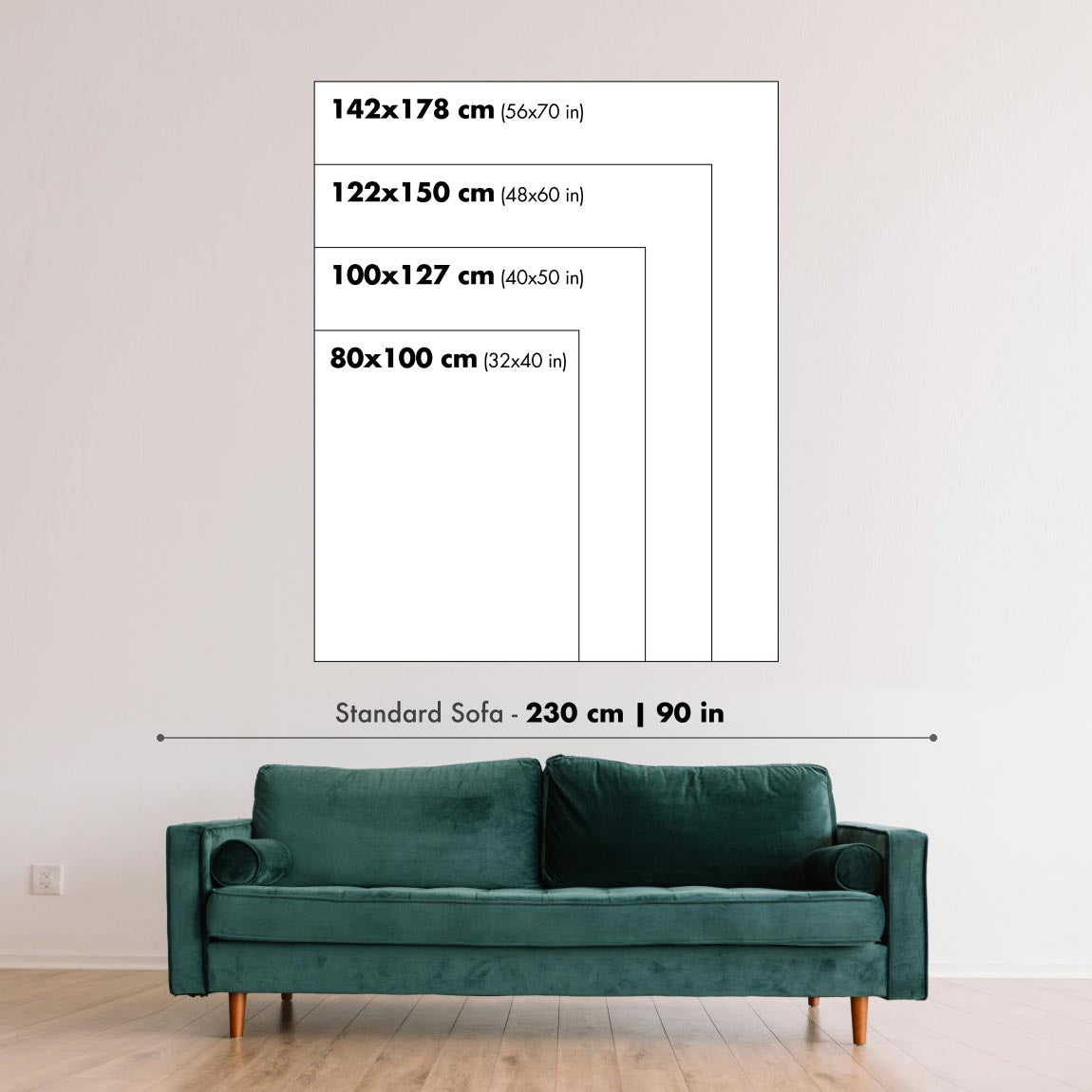
Detailed maps are especially rewarding at larger sizes, where names, boundaries and decorative features have more room to be appreciated. Use the close-up preview and size guide to choose the right scale for your wall.
This map looks amazing at sizes all the way up to 50in (125cm). If you are looking for a larger map, please get in touch.
The model in the listing images is holding the 16x20in (40x50cm) version of this map.
Where personalisation is available, you can add a short title or dedication, mark one meaningful place, or request one considered visual detail. See personalised map examples.
Every piece is printed to museum-grade archival standards using fade-resistant pigment inks on acid-free matte paper. Choose an unframed map print, framed map or canvas using the finish options above. Framed maps use crystal-clear optical acrylic and arrive ready to hang.
With its rich detail and strong sense of place, this map makes a considered gift for a new home, anniversary, retirement or anyone with a personal connection to the area shown. Still deciding? Explore our collection of rare old and vintage maps to discover another place, period or style.
This map is also available as a float framed canvas, sometimes known as a shadow gap framed canvas or canvas floater. The map is printed on artist's cotton canvas and then stretched over a handmade box frame. We then "float" the canvas inside a wooden frame, which is available in a range of colours (black, dark brown, oak, antique gold and white). This is a wonderful way to present a map without glazing in front. See some examples of float framed canvas maps and explore the differences between my different finishes.
For something truly unique, this map is also available in "Unique 3D", our trademarked process that dramatically transforms the map so that it has a wonderful sense of depth. We combine the original map with detailed topography and elevation data, so that mountains and the terrain really "pop". For more info and examples of 3D maps, check my Unique 3D page.
Many of our maps and art prints are chosen as thoughtful gifts for homes, offices, studies and meaningful places.
Choose a framed option for the easiest ready-to-hang gift, or choose an unframed print if the recipient may prefer to select their own frame.
We make orders locally in 24 countries around the world, so gifts can often be produced close to the recipient. This helps them arrive faster, travel more safely, and avoid customs or import duty surprises.
- We can deliver directly to the recipient
- Framed pieces arrive ready to hang
- Unframed prints are carefully packed in a strong protective tube
- Almost every order is made locally, for faster, safer gifting
- 90-day returns give the recipient time to decide
If you are not sure what to choose, please contact us. We can help you pick the right map, size, finish or delivery option.
Most orders are made locally and delivered in around 2–3 working days, depending on the product, size and destination.
We print and frame maps and artwork in 24 countries around the world, so your order is usually made close to you or your recipient. That means faster delivery, less time in transit, and no customs or import duty surprises.
Personalised and customised pieces usually take an extra 1–2 working days, because we prepare your design and send it to you for approval before printing.
Very large framed orders can take a little longer, as they need extra care in production and delivery.
Every order is carefully packaged: unframed prints are sent in a strong protective tube, while framed pieces are securely packed with protective materials around the frame.
If you need your order by a particular date, please contact us before ordering. We’ll check the best production route and delivery option for your location.
Express delivery is available at checkout for most countries. Next-day delivery is available in the UK, US, Singapore and the UAE.
Your order is covered by our 90-day returns policy and 10-year guarantee.
Our standard frame is a gallery-style black ash hardwood frame, with a simple, modern look. It is approximately 20mm (0.8in) wide. You can also view some lovely customer photos of framed maps and art.
We use super-clear acrylic glazing, also known as Perspex or Acrylite, instead of traditional glass. It is lighter, safer, and has lower reflectivity, giving the artwork a clearer, cleaner appearance.
Six standard frame colours are available at no extra cost: black, dark brown, dark grey, oak, white, and antique gold. Custom framing and mounting/matting is also available for customers looking for something more specific.
Most maps, art prints, and illustrations are also available as a framed canvas. We use matte cotton canvas, stretch it over a sustainably sourced wooden box frame, and then float the piece within a wooden outer frame. The finished result is beautifully presented, with no glazing between you and the artwork.
All frames are supplied ready to hang, with either string or brackets fitted to the back. Very large frames will include heavy-duty hanging plates and/or a mounting baton. If you have any questions, please get in touch.
We can also supply old maps and artwork on canvas, foam board, cotton rag, and other materials.
If you would prefer to frame your map or artwork yourself, please read our size guide before ordering.
We work with interior designers, hospitality businesses, property professionals, offices and corporate buyers on individual pieces and larger coordinated projects.
This map can be adapted for a particular wall, room or project, and our workshop can help coordinate the dimensions, material and framing before production.
- Exact, oversized and made-to-measure dimensions
- Custom framing, mounting and alternative materials
- Coordinated pieces for several rooms or locations
- Map personalisation, to mark important locations or add extra details
- Map and framing guidance from our workshop
- Local production for projects around the world
Every Unique Maps piece begins with an authentic cartographic source or an original design from our London studio.
For our historic maps, we source rare originals from libraries, archives, auction houses and private collections around the world. We carefully restore each map for print—repairing age-related damage, balancing colour and improving clarity while preserving its original detail, texture and character.
Once restored, the map is prepared for your chosen size and finish. Your piece is then printed and, where selected, framed close to its delivery destination.
Our map prints use acid-free 200gsm archival matte paper and fade-resistant pigment inks, creating a rich, non-glossy finish designed to last. Framed maps use crystal-clear optical acrylic and arrive ready to hang.
Canvas, cotton-rag and other specialist presentations are also available. Learn more about our materials and finishes.
Personalising your map
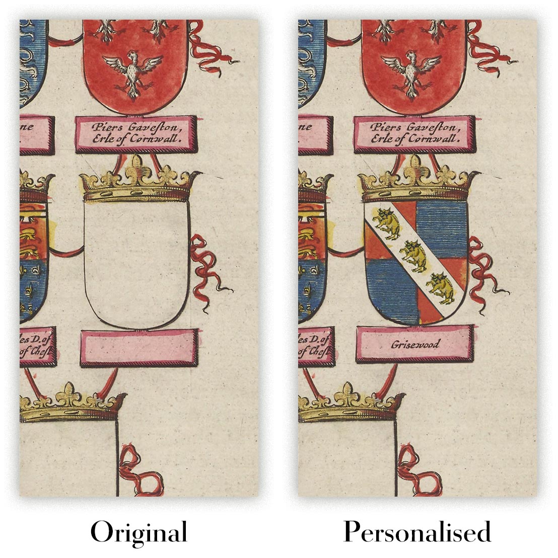
You can add a short title or dedication, mark one meaningful place, or request one considered visual detail. For personalised designs, we send a proof before printing and you can request changes before approval.
For more complex bespoke commissions, contact our design team.
Original or Aged
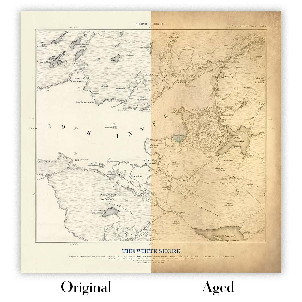
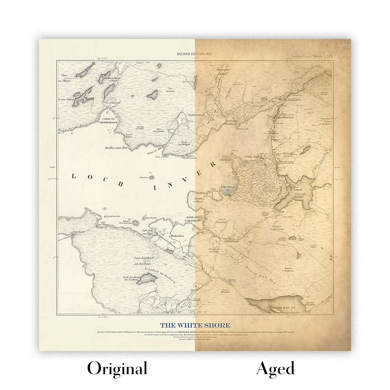
Choose Original for true-to-source colour, or Aged for a warmer, richer antique character created with our specialist ageing process. See examples of our Aged maps.
We’ve been restoring and producing maps and art prints since 1984, and we stand behind every piece.
Every order is covered by our 10-year guarantee and damage-free delivery guarantee. If your piece arrives damaged, we’ll replace or remake it free of charge. If anything else isn’t right, contact our workshop team and we’ll put it right promptly.
See our returns and refund policy for full details.
Or try searching for something!


