Old Maps of Africa
8,000+ reviewsreviews
Christmas delivery & gifting

Send it straight to them
Add a gift message in your bag, then enter the recipient’s delivery address at checkout. We’ll print your message on a card. No prices are included in the parcel.
Delivery timing
Standard delivery is free worldwide and usually takes around 3 working days. Sending a gift abroad? We make most orders locally, in the recipient’s country.
Allow extra time for design and proof approval on personalised orders. See delivery details.
Returns: Standard orders can be returned or exchanged within 90 days of delivery. Personalised and custom-made pieces are generally excluded from change-of-mind returns. See our returns policy.
Continue where you left off
About these maps
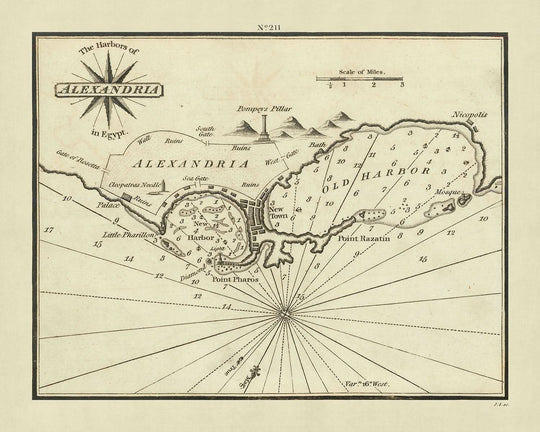
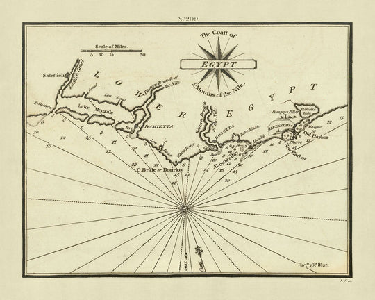
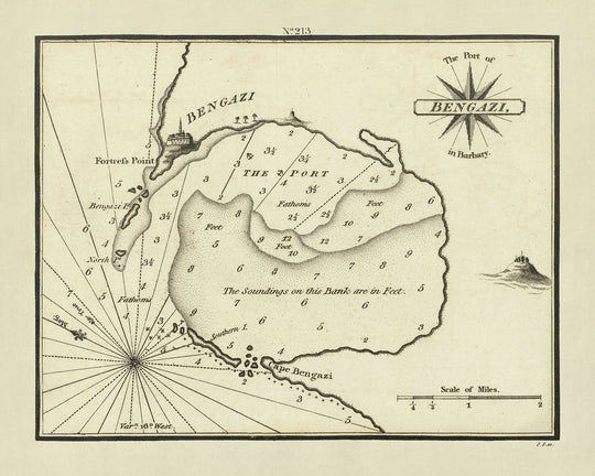
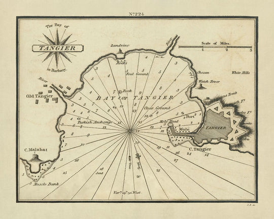
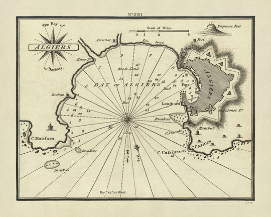
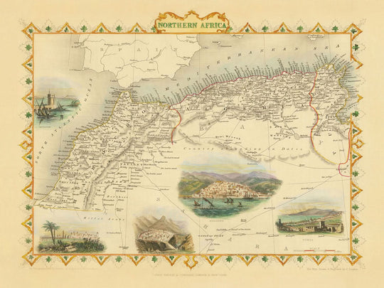
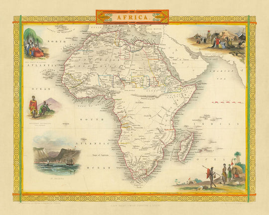
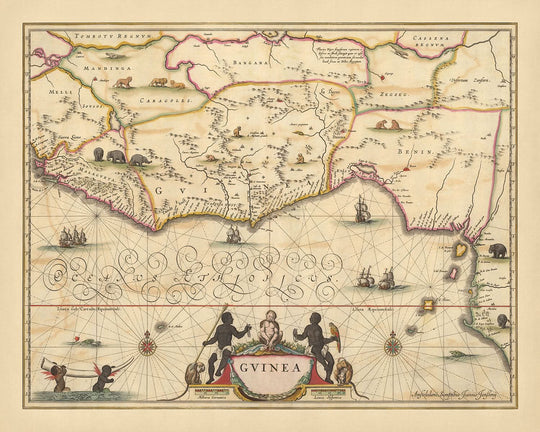
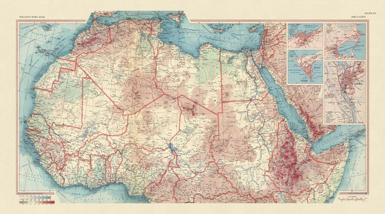
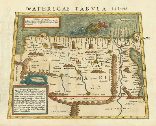
My collection of the finest old maps from the continent of Africa, from the 1500s all the way up to the 1900s - from Blaeu and Munster, to Stanford and Arrowsmith.
Some of the older maps of Africa are stunning - they reveal just how little Western cartographers knew about the continent, and specifically the source of the Nile.
This collection also contains some interesting colonial maps of South Africa and Rhodesia, the Suez Canal and Morocco.
Find your place
Your hometown, your family’s roots or a favourite stretch of coast.